Sussex Scrapbook
~
Nature walks throughout the year
Saturday 20th February 2010
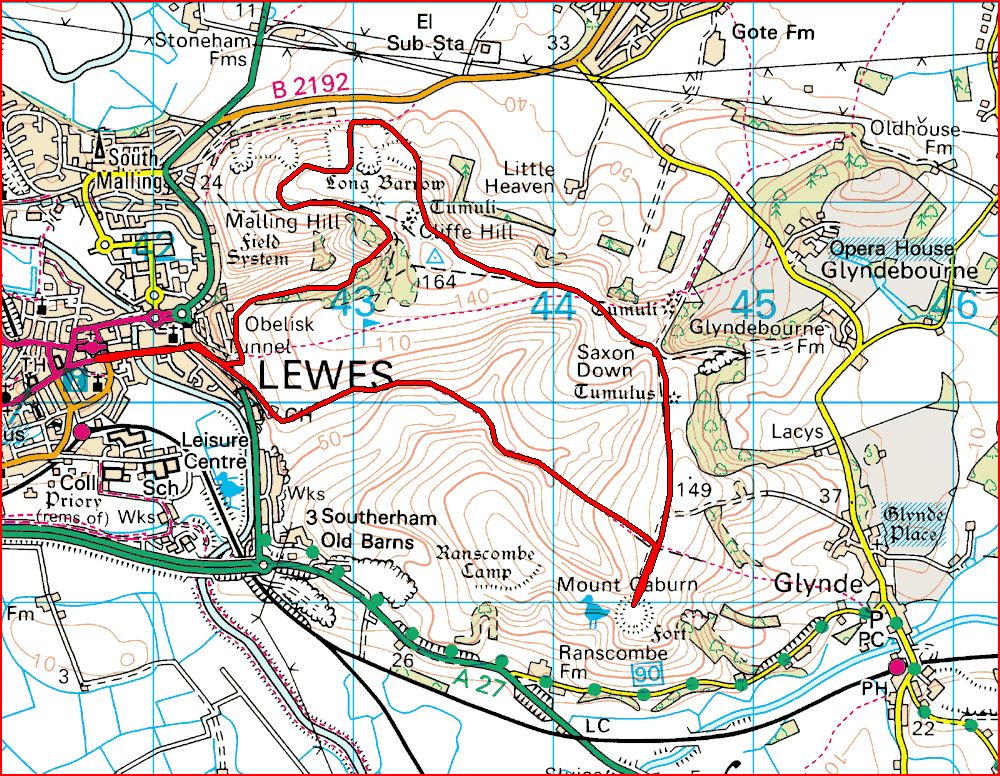
Mount Caburn
6.5 miles
We'd thought about
doing the Beachy Head
walk this weekend, but due to the state of the roads we opted for a short mooch
around
Mount Caburn from Lewes instead. The minor roads were very icy and our
bike's
back wheel slipped sideways before we'd even gone a 100 yards. Fear of imminent
disaster forced us to stick to major roads but we still had to take it very
easy; the police and ambulance crews seemed to be having a busy enough day
already, without us adding to their workload.
We took the incredibly steep Chapel Lane up to the golf club and out onto the
rolling downland. This place never fails to impress as it's so picturesque,
whatever the weather, which today was bitterly cold with very spectacular clouds
superimposed onto a bright blue sky.
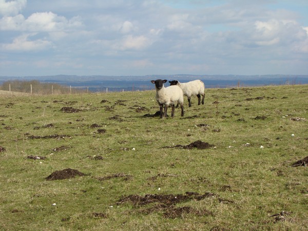
This whole area is grazed by sheep, but we still saw people without their dogs
on leads. Just as Gill was suggesting to a woman that her two dogs should really
be on leads, one of them set off for a major bit of sheep worrying while the
owner just watched on helplessly. Looking out for livestock is one of the prime
directives of the
Countryside Code and is very simple to understand. But hey, what do we know
eh! Mind you, we did see many other dog owners today who were obviously taking
great care to make sure their pets were under control.
We continued across
Southerham Nature Reserve and up to the mount where the hang
gliders were holding court. We took our normal spot overlooking Glynde to have
some tea and keep an eye out for passing birds of prey. A
Red Kite's been seen here recently and although we had great views of
Kestrels and Buzzards, the latter preferring to keep below the height of the
hang gliders, the Kite remained absent.
Heading north across Saxon Down and along the northern edge of the golf course
we finally came to a large tumuli, below which is the
Malling Down Nature Reserve. We wove our way through this incredibly
interesting area that is littered with burial pits, ancient quarries, what look
like flint mines, and landslides, finally making our way to the obelisk for
sunset.
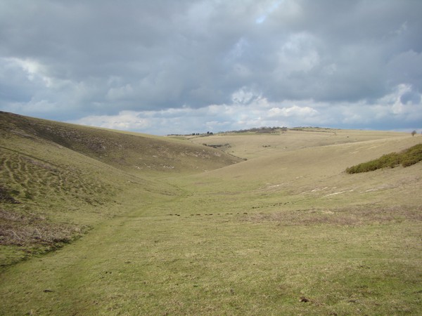
Part of
Southerham Nature Reserve.
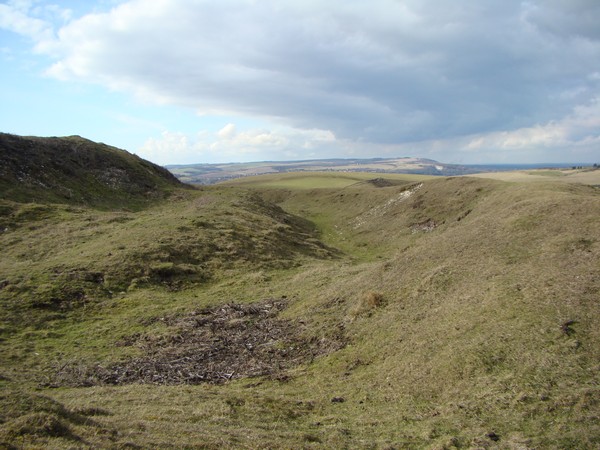
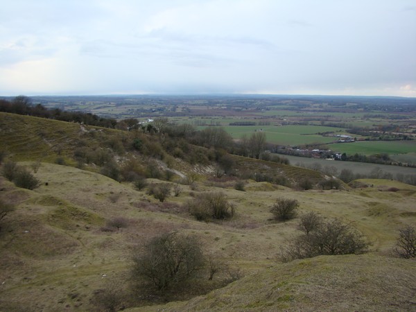
The earthworks of the iron-age hill fort at Mount Caburn looking across to Mount
Harry.
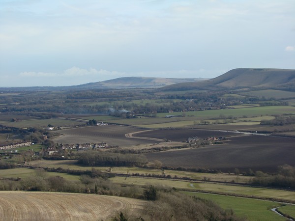
Firle from Mount Caburn.
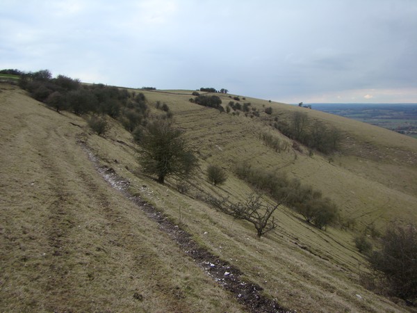
Cliffe Hill. The soil on this very steep slope is only just holding on and looks
as if it could slip at any moment.
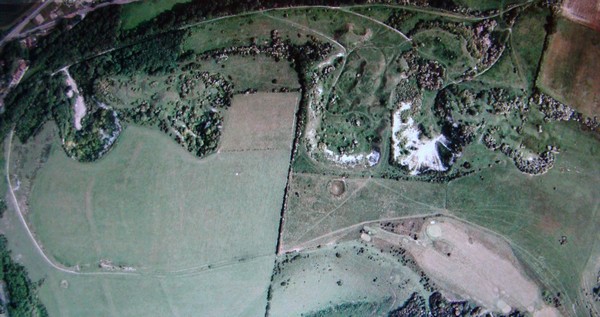
An aerial view of the
Malling Down Nature Reserve. (Needless to say, I didn't take this photo)
The place is full of bumps; like the
moguls
in the Winter Olympics.
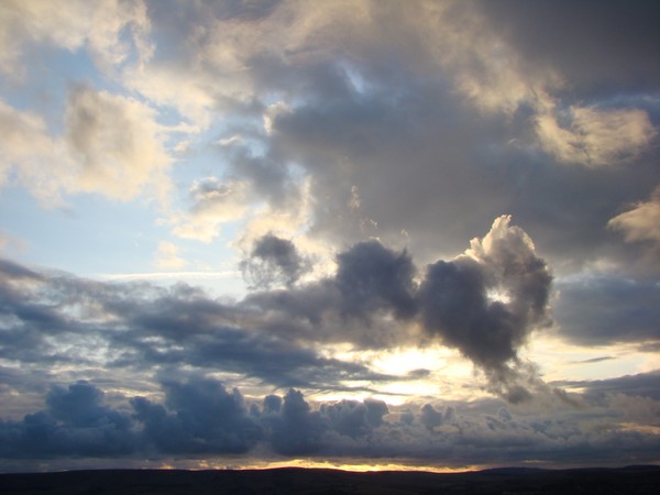
The spectacular skies were indicative of the uncertain nature of the weather.
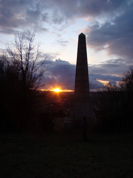
The obelisk back near Chapel lane. Time to head to
The Snowdrop for a
Harvey's.